Advanced Drone Inspection Services
Elevate Your Project Oversight
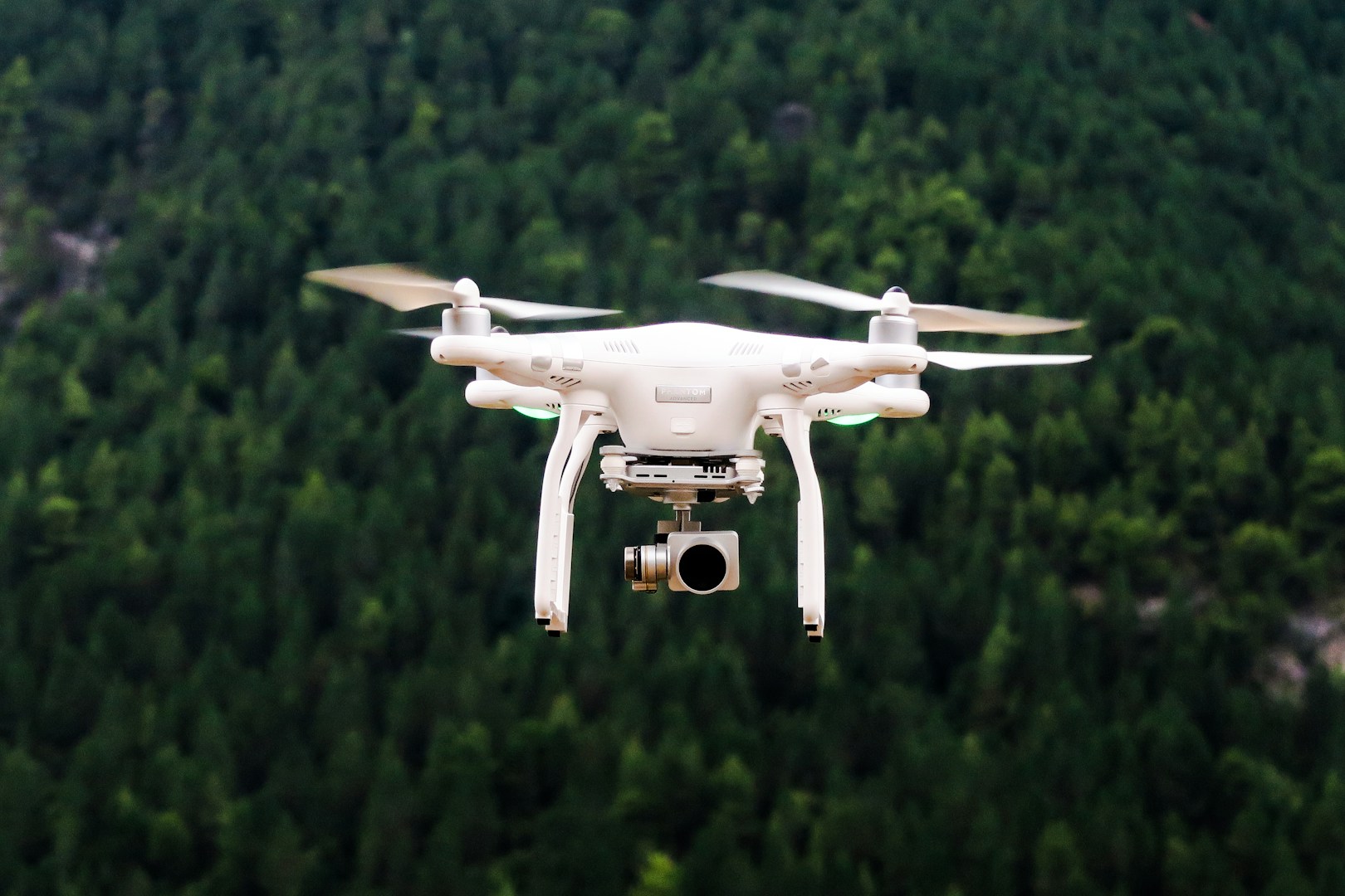
AeroVision Labs is at the forefront of transforming the way inspections are conducted across various sectors. Our innovative drone inspection services are meticulously crafted for estate agents, property developers, construction companies, and utility providers. By integrating cutting-edge drone technology into project management processes, we provide unparalleled efficiency and accuracy in monitoring and managing assets. Our team of experts leverages high-resolution aerial imagery and advanced data analytics to deliver detailed inspections, ensuring that every element of your projects meets the highest standards. With AeroVision Labs, you can significantly enhance oversight capabilities, reduce operational risks, and optimise resource allocation. Trust us to elevate your project management and unlock new levels of insight with our state-of-the-art drone inspection solutions.
01
Empower your clients!
Residential & Commercial Property
Elevate your listings with stunning aerial visuals that sell faster. Our drone surveys capture cinematic 4K footage, immersive 360° tours, and precise 2D/3D maps – perfect for showcasing luxury homes, developments, and commercial spaces. Includes free AI-powered analytics on request (e.g., roof condition reports, land measurements). From £199 per survey.
02
Meet your project deadlines!
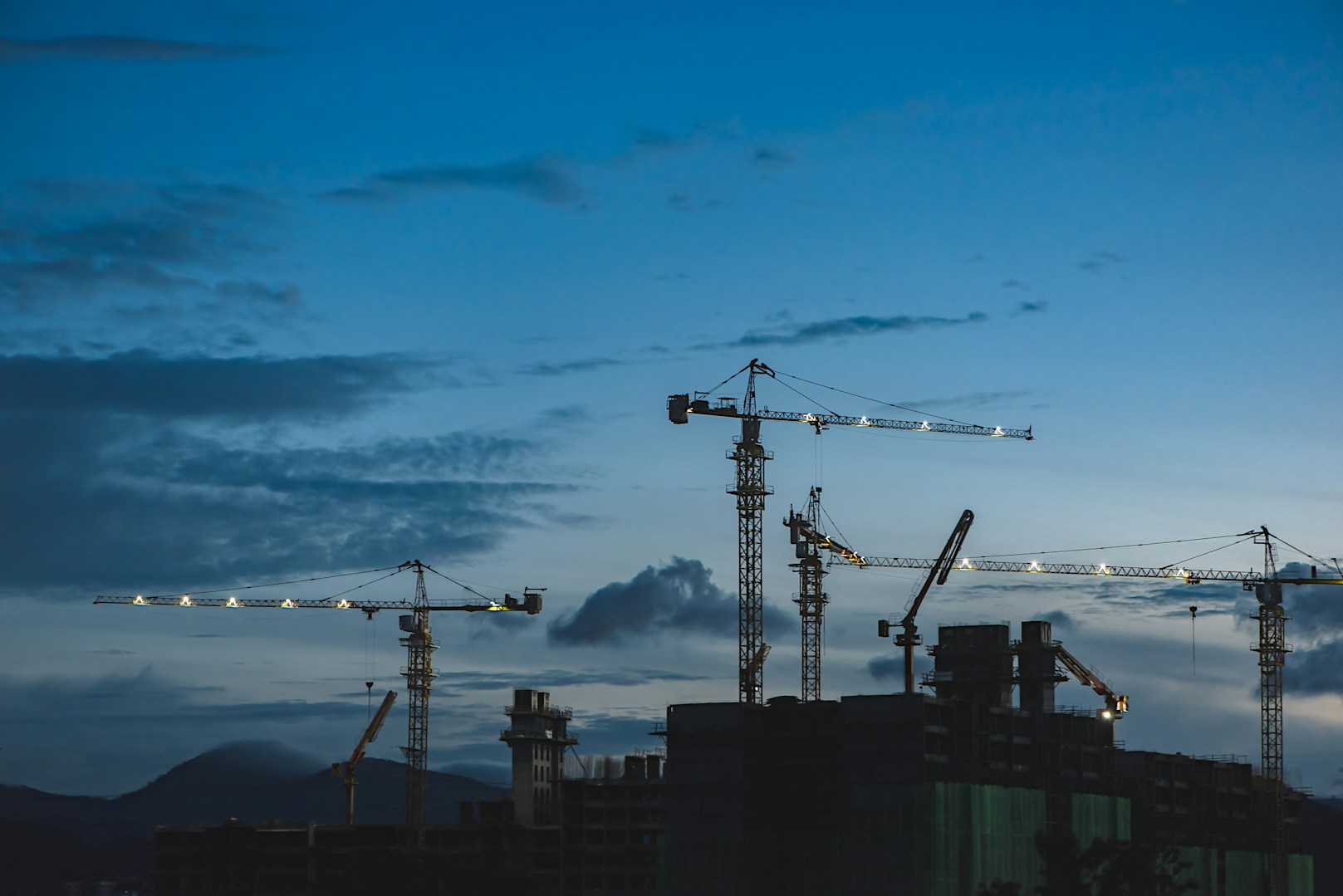
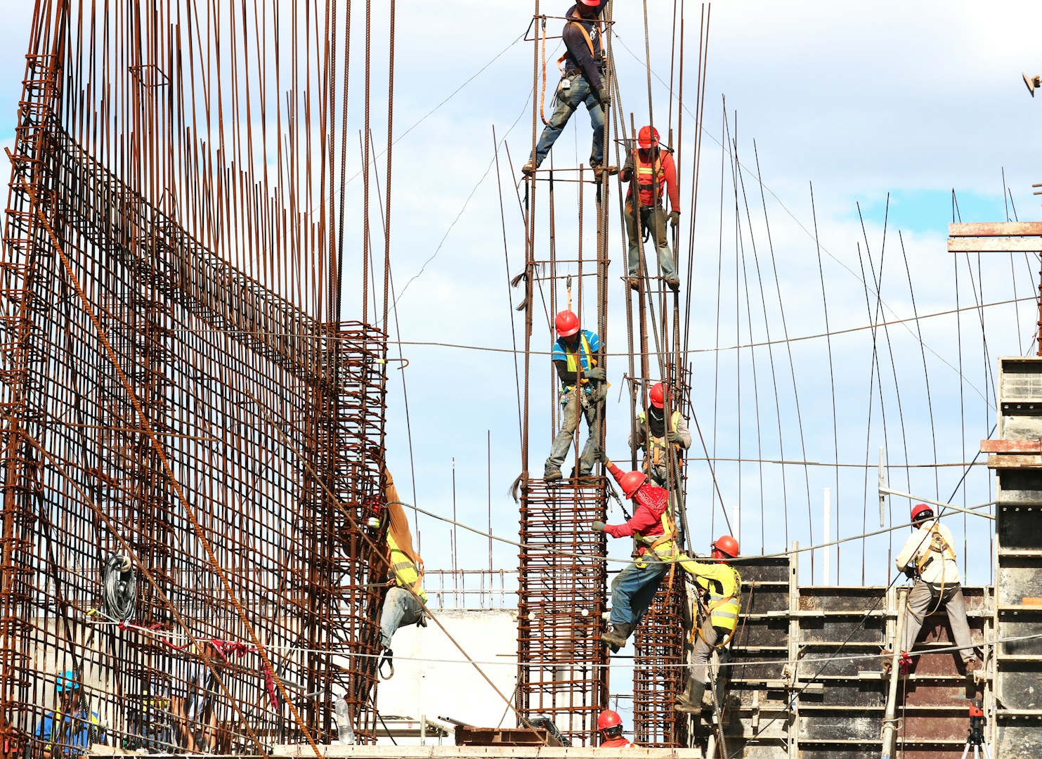
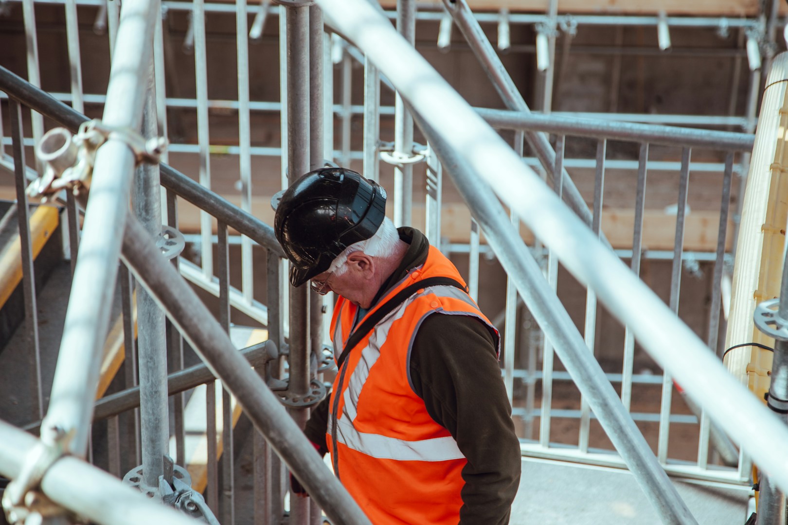
Construction
Track progress and reduce risks with monthly drone surveys. We deliver accurate topographic maps, volumetric measurements, and AI-powered site analytics (e.g., equipment tracking, safety compliance). Ideal for contractors, architects, and project managers needing real-time, bird’s-eye documentation. From £299 per survey.
03
Precision farming
Agriculture
Boost yields and cut costs with precision drone surveys. Our thermal and multispectral imaging detects crop stress, irrigation issues, and pest hotspots weeks before ground crews. Includes NDVI health maps and yield prediction reports tailored to your farm. From £299 per survey.
Empower Your Business with AeroVision Analytics Lite
At AeroVision Labs, we are dedicated to providing innovative analytical tools that enhance your business's decision-making processes. Our AeroVision Analytics Lite package encompasses a variety of products designed to convert complex data into clear, actionable insights. From intuitive heatmaps that illustrate user behaviour patterns to simplistic 3D models that bring visual clarity to your data, we ensure that our solutions cater to your unique business needs, enabling you to make informed decisions efficiently.

Explore Dynamic Heatmaps
Visualise User Engagement
Our heatmaps provide a visual representation of user interactions on your platform. By showcasing areas of high activity, you can identify what captures your audience’s attention, allowing you to optimise your content and improve user experience.

Utilise Basic 3D Models
Bring Data to Life
The basic 3D models offered through AeroVision Analytics Lite allow you to present your data in a visually compelling manner. These models help in understanding complex data relationships and facilitate easier communication of insights to stakeholders, enhancing the overall strategic planning.

Transform Data into Insights
Make Informed Decisions
With AeroVision Analytics Lite, you can leverage our tools to turn raw data into actionable insights. Our products are designed to streamline your data analysis process, enabling you to focus on decision-making that drives growth and enhances performance.

Comprehensive Analytics Solutions
Tailored for Your Needs
We understand that every business is unique. Our range of analytics solutions, including heatmaps and 3D models, are designed flexibly to adapt to your specific requirements. Discover how AeroVision Analytics Lite can support your journey towards data-driven success.
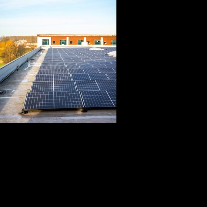
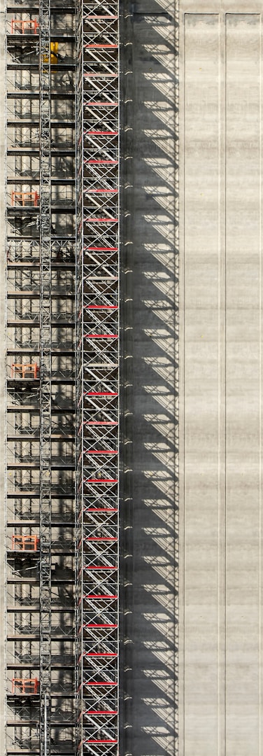
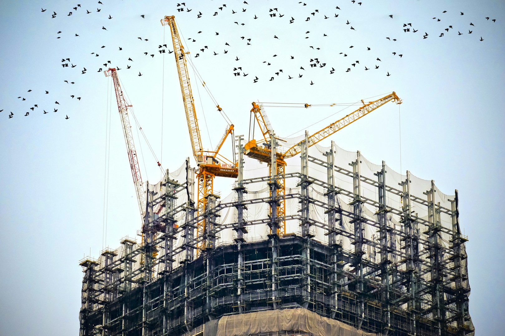
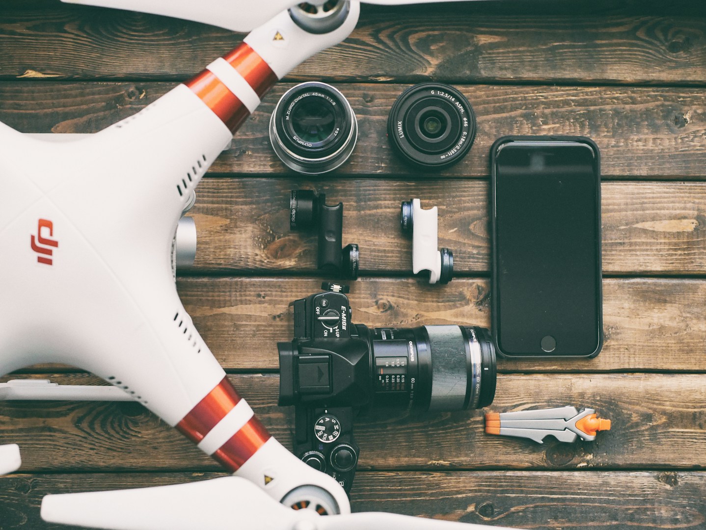
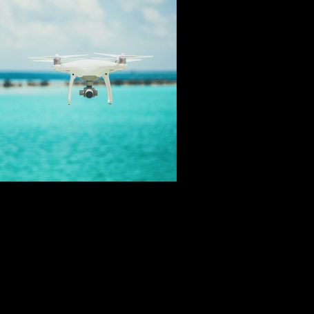
Drone Image Gallery (*Actual Client Work coming soon!)
Explore our extensive gallery of drone images showcasing stunning aerial views and detailed inspections. Our portfolio highlights the capabilities and versatility of our drone services across various sectors, including construction, agriculture, and environmental monitoring. Each image captures the unique perspectives and detailed insights that can only be achieved through aerial technology, demonstrating how AeroVision Labs can elevate your projects with precision and clarity. Immerse yourself in our collection and see the world from a different angle, experiencing the potential applications of drone imaging in your industry.

What Our Clients Say
At AeroVision Labs, we take immense pride in the positive feedback we receive from our clients. Each testimonial is a testament to the transformative influence our drone services have had on their operations, enhancing efficiency and bringing innovation to various sectors. Clients express their satisfaction with the accuracy and reliability of our aerial solutions, whether it be for surveying, mapping, or inspection tasks. They commend the professionalism of our team, who consistently goes above and beyond to meet project needs.
Hear from our valued customers about their experiences with AeroVision Labs:
“The imagery we received from AeroVision Labs has changed the way we approach our projects. Their services are now an essential part of our marketing plans." - R.Rhodes-Evans (@RockMyBowl )
"AeroVision Labs provided us with data that not only saved time but also significantly reduced development costs. Their team was professional and efficient, making the entire process seamless." - J.Solitro - Jon Sol Properties.
“The imagery we received from AeroVision Labs has changed the way we approach our projects. Their services are now an essential part of our marketing plans."
Rebecca Rhodes-Evans, @RockMyBowl https://www.instagram.com/rockmybowl/

©Copyright 2025. All rights reserved.
We need your consent to load the translations
We use a third-party service to translate the website content that may collect data about your activity. Please review the details in the privacy policy and accept the service to view the translations.